
Small airport · Tampa, United States
Peter O Knight Airport
Built as a Works Progress Administration project, it was Tampa's main airport from 1935 to 1945, and is still used by general aviation operators today because of its proximity to the central city. Its IATA code is TPF. Its ICAO code is KTPF. It has 2 runways, longest 3,583 ft (ASP). Elevation 8 ft.
No freely licensed photograph of this airport is in our library yet — rather than borrow a picture of somewhere else, this profile leads with its verified facts.
Airport facts
| Location | Tampa, United States |
|---|---|
| IATA code | TPF |
| ICAO code | KTPF |
| Type | Small airport |
| Runways | 2 runways, longest 3,583 ft (ASP) |
| Elevation | 8 ft |
| Coordinates | 27.9156° N, 82.4493° W |
Every fact above is taken from the sources listed below; anything no source states is left blank rather than guessed.
What Peter O Knight Airport is known for
Built as a Works Progress Administration project, it was Tampa's main airport from 1935 to 1945, and is still used by general aviation operators today because of its proximity to the central city.
History
Built as a Works Progress Administration project, it was Tampa's main airport from 1935 to 1945, and is still used by general aviation operators today because of its proximity to the central city. In June 2004, the local fixed-base operator (FBO) was sold by Tampa Flying Service and is now operated by Atlas Aviation. The extension of the northeast and southwest ends were completed in 2008 with no noticeable impact to the local area.
Official website: http://www.tampaairport.com/peter-o-knight-airport — the airport's own site has the current flight and visiting information.
National parks near this airport
National parks close to Peter O Knight Airport, by straight-line distance — each link opens its profile on our sister site National Park Profiles.
- Ybor City Museum State Park · United States · 3.2 miles away
- Hillsborough River State Park · United States · 16.7 miles away
- Cockroach Bay Preserve State Park · United States · 17.4 miles away
- Little Manatee River State Park · United States · 17.8 miles away
- Alafia River State Park · United States · 20.8 miles away
- Skyway Fishing Pier State Park · United States · 21.6 miles away
Airports nearby
The closest airports in this library, by straight-line distance.
MacDill Air Force Base
6.3 miles away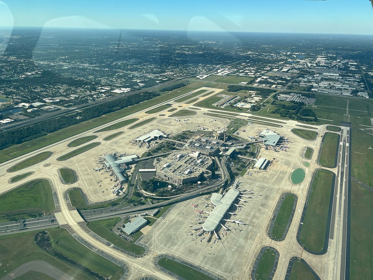
Tampa International Airport
6.6 miles awaySt. Petersburg Clearwater International Airport
14.5 miles awayAlbert Whitted Airport
15.0 miles awayClearwater Air Park
19.4 miles awayMore airports in United States
More small airports
Frequently asked questions
What is Peter O Knight Airport?
Built as a Works Progress Administration project, it was Tampa's main airport from 1935 to 1945, and is still used by general aviation operators today because of its proximity to the central city.
What is the airport code for Peter O Knight Airport?
Peter O Knight Airport — its IATA code is TPF and its ICAO code is KTPF.
Where is Peter O Knight Airport located?
Peter O Knight Airport serves Tampa, United States. Its coordinates are 27.9156° N, 82.4493° W.
What is the history of Peter O Knight Airport?
Built as a Works Progress Administration project, it was Tampa's main airport from 1935 to 1945, and is still used by general aviation operators today because of its proximity to the central city. In June 2004, the local fixed-base operator (FBO) was sold by Tampa Flying Service and is now operated by Atlas Aviation.
Sources
- https://davidmegginson.github.io/ourairports-data/airports.csv#21215
- https://en.wikipedia.org/wiki/Peter_O._Knight_Airport
Page last updated 13 November 2026.