
Large airport · Toluca, Mexico
Adolfo López Mateos International Airport
Historically serving as a hub for Volaris, Interjet, and Republicair, the airport is operated by Administradora Mexiquense del Aeropuerto Internacional de Toluca and is named after President Adolfo López Mateos. Its IATA code is TLC. Its ICAO code is MMTO. It has 1 runway, longest 13,780 ft (ASP). Elevation 8,466 ft.
No freely licensed photograph of this airport is in our library yet — rather than borrow a picture of somewhere else, this profile leads with its verified facts.
Airport facts
| Location | Toluca, Mexico |
|---|---|
| IATA code | TLC |
| ICAO code | MMTO |
| Type | Large airport |
| Runways | 1 runway, longest 13,780 ft (ASP) |
| Elevation | 8,466 ft |
| Scheduled service | Yes |
| Coordinates | 19.3369° N, 99.5658° W |
Every fact above is taken from the sources listed below; anything no source states is left blank rather than guessed.
What Adolfo López Mateos International Airport is known for
Historically serving as a hub for Volaris, Interjet, and Republicair, the airport is operated by Administradora Mexiquense del Aeropuerto Internacional de Toluca and is named after President Adolfo López Mateos.
Landmarks near this airport
Famous landmarks close to Adolfo López Mateos International Airport, by straight-line distance — each link opens its profile on our sister site LandmarkProfiles.
- Angel of Independence · Mexico · 26.7 miles away
- Palacio de Bellas Artes · Mexico · 28.5 miles away
- Metropolitan Cathedral, Mexico City · Mexico · 29.0 miles away
- Teotihuacan · Mexico · 53.0 miles away
National parks near this airport
National parks close to Adolfo López Mateos International Airport, by straight-line distance — each link opens its profile on our sister site National Park Profiles.
- La Marquesa National Park · Mexico · 14.6 miles away
- Desierto de los Leones National Park · Mexico · 17.0 miles away
- Cumbres del Ajusco National Park · Mexico · 21.9 miles away
- Los Remedios National Park · Mexico · 22.3 miles away
- Lagunas de Zempoala National Park · Mexico · 25.2 miles away
- Fuentes Brotantes de Tlalpan National Park · Mexico · 25.2 miles away
Airports nearby
The closest airports in this library, by straight-line distance.
Jorge Jiménez Cantú National Airport
24.3 miles away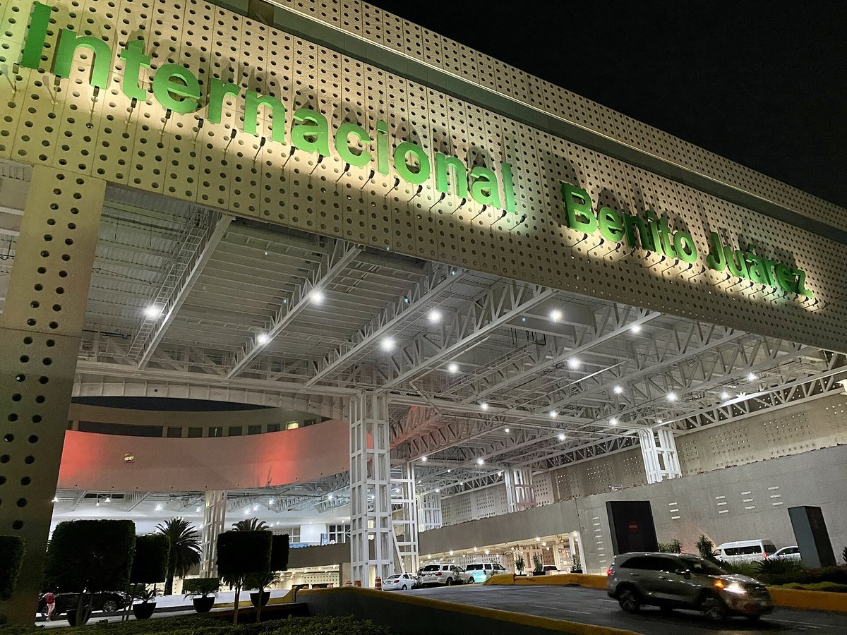
Mexico City Benito Juárez International Airport
33.0 miles awayGeneral Mariano Matamoros International Airport
40.0 miles awayFelipe Ángeles International Airport
45.6 miles awayHermanos Serdán International Airport
78.9 miles awayMore airports in Mexico
More large airports
Frequently asked questions
What is Adolfo López Mateos International Airport?
Historically serving as a hub for Volaris, Interjet, and Republicair, the airport is operated by Administradora Mexiquense del Aeropuerto Internacional de Toluca and is named after President Adolfo López Mateos.
What is the airport code for Adolfo López Mateos International Airport?
Adolfo López Mateos International Airport — its IATA code is TLC and its ICAO code is MMTO.
Where is Adolfo López Mateos International Airport located?
Adolfo López Mateos International Airport serves Toluca, Mexico. Its coordinates are 19.3369° N, 99.5658° W.
How high is Adolfo López Mateos International Airport?
Adolfo López Mateos International Airport sits at 8,466 feet above sea level.
Sources
- https://davidmegginson.github.io/ourairports-data/airports.csv#4760
- https://en.wikipedia.org/wiki/Lic._Adolfo_L%C3%B3pez_Mateos_International_Airport
Page last updated 13 November 2026.